FACTS
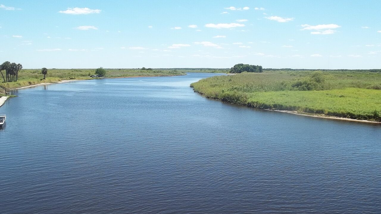
The St. Johns River record crest reached 18.8 feet at the gauge near Cocoa in Brevard County on Saturday, Nov. 21, 2026, more than a foot above the 1953 record, according to the National Weather Service in Melbourne. Downstream, the river near Lake Harney is nearing its own record, and Putnam County emergency managers expect major flooding in Northeast Florida starting Sunday. Forecasters and water managers say high water could last for weeks to months.
This story updates Stay Current News’ Nov. 20 report, Northeast Florida flooding threat grows as storms move north, with the river’s record crest and the downstream forecast.
St. Johns River record at the Cocoa gauge
The river near Cocoa 9W, west of the city of Cocoa, stood at 18.8 feet at 1:15 p.m. Saturday, the weather service said in a flood warning issued at 1:48 p.m. Flood stage there is 16 feet. The office said “extreme rainfall over the headwaters of the St. Johns River” pushed the river into major flood stage, expected a crest of 18.8 feet Saturday evening, and forecast the river to hold near that level into the middle of next week. The warning said the event will set a new flood of record at the gauge.
The previous record at the Cocoa gauge was 17.55 feet, set on Oct. 11, 1953, AccuWeather reported. The river passed that mark early Thursday, Nov. 19, Newsweek reported. AccuWeather meteorologist Jesse Ferrell wrote that flooding near Cocoa began Nov. 2 and reached major flood stage Nov. 9, that major flooding could last through December, and that at least minor flooding is likely to continue at Cocoa into January 2027.
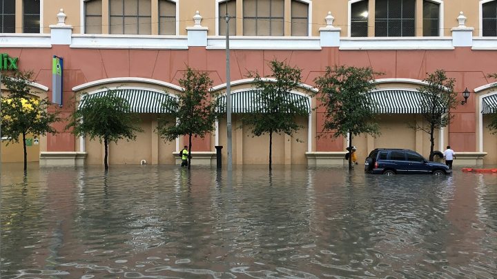
At 17.2 feet, the weather service says, water enters homes along the river near Lake Poinsett west of Cocoa and low-lying homes in the Silver Pines area of Rockledge and Shakespeare Park in Cocoa. Providence Road west of Cocoa becomes impassable at that level, cutting off access to homes on Mullet Lane and Bass Road.
Rescues and shelters
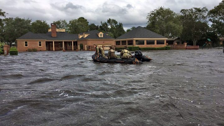
Florida Fish and Wildlife Conservation Commission officers told WKMG News 6 that about 120 people had been rescued in Brevard County and well over 150 in Volusia County as of Friday afternoon. FWC Lt. Grant Eller said about 80 officers and 13 airboats were working in the area. “Sometimes it’s just convincing people that they should leave their homes,” Eller told the station. Brevard County has opened shelters at the Walter Butler Community Center in Cocoa and the Joseph N. Davis Community Center in Melbourne, the station reported. Volusia County has declared a local state of emergency, the station reported.
Flooding moves downstream
The St. Johns flows north about 310 miles toward Jacksonville and drops less than 30 feet along the way, so floodwater moves slowly, AccuWeather reported. The weather service said Saturday night that the river above Lake Harney, near Geneva in Seminole County, was at 12.5 feet, with flood stage at 8 feet. It forecast a crest of 13 feet this weekend and said, “This approaches the flood of record.” At 10.8 feet, State Road 46 floods near Jungle Road and Prevatt Road, the warning said. Flood warnings also cover the river near Sanford, DeLand and Astor, Newsweek reported.
In Northeast Florida, Putnam County Emergency Management expects major flood levels on the river to begin Sunday, News4JAX reported. “The river flooding is expected to be a prolonged event, lasting over the next couple of weeks,” the agency said. The county has opened self-serve sandbag sites in Palatka, Satsuma and Welaka.
Water managers store floodwater upstream
The St. Johns River Water Management District said Nov. 20 that it is storing about 60 billion gallons of water, or 185,000 acre-feet, in the Upper St. Johns River Basin that would otherwise flow downstream. The district has also made controlled releases into the C-54 Canal. In a separate update, the district said some sections of the river may keep rising for more than a week, king tides beginning Sunday, Nov. 22, could raise levels on the lower river, and it could take months for the river to fall below moderate flood stage. The district’s flood outlook forecasts record or major crests from Cocoa to Astor.