FACTS
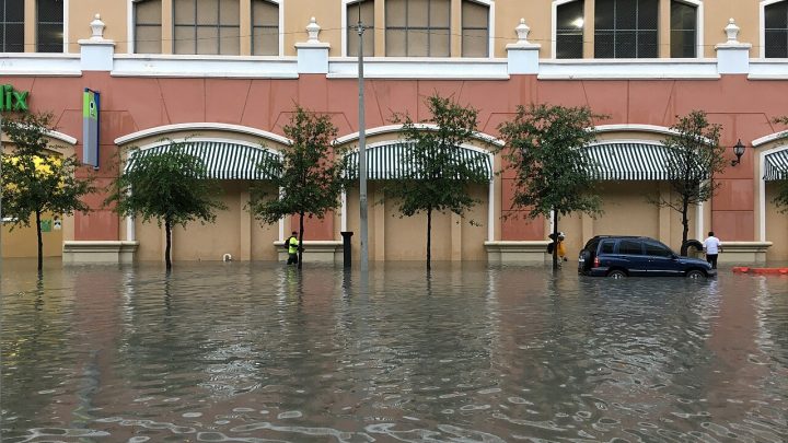
Northeast Florida flooding threats grew Friday, Nov. 20, 2026, as heavy rain that has swamped Florida’s Atlantic coast since Tuesday moved north, The Associated Press reported. The National Weather Service has flood warnings and watches along about 200 miles of coast, from just south of Melbourne to the Jacksonville area, after storms led to dozens of rescues farther south. Forecasters expect the rain to spread toward the Carolinas and the mid-Atlantic over the weekend.
This story updates Stay Current News’ Nov. 16 report on the Florida east coast flood threat with rescues, rainfall totals and the forecast for the weekend.
Northeast Florida flooding watch and warnings
The National Weather Service in Jacksonville has a Flood Watch for Duval, St. Johns, Flagler, Clay and Putnam counties through Saturday, with 2 to 4 more inches of rain possible and local totals up to 6 inches. The office also listed minor to moderate tidal flooding along the coast and the St. Johns River basin, high surf, a high rip current risk and northeast wind gusts of 35 to 40 mph along the coast through Saturday morning as a strengthening low passes.
“Repeated rounds of heavy rain could cause flooding in low-lying and urban areas,” the weather service said in its watch, The Florida Times-Union reported. A Wind Advisory covers coastal Duval County through 7 a.m. Saturday, and a Coastal Flood Advisory runs through 7 a.m. Sunday, the newspaper reported.
In Flagler County, the school district canceled classes and after-school activities Friday, FlaglerLive reported. “We want our community to be prepared that it could be worse than what you’re seeing now outside,” county Emergency Management Director Jonathan Lord said Thursday. Central Florida Public Media reported major flooding on westbound State Road 100 at Deen Road near Bunnell and a Friday morning flash flood warning for northeast Volusia County, including Daytona Beach and Ormond Beach.
Rainfall totals and rescues
The weather service warned that “Severe, widespread flash flooding is expected,” according to the AP. Some east coast areas have had more than 17 inches of rain since Tuesday, and several places recorded their wettest November on record, the AP reported. CBS News reported 26.9 inches in 48 hours at Cape Canaveral.
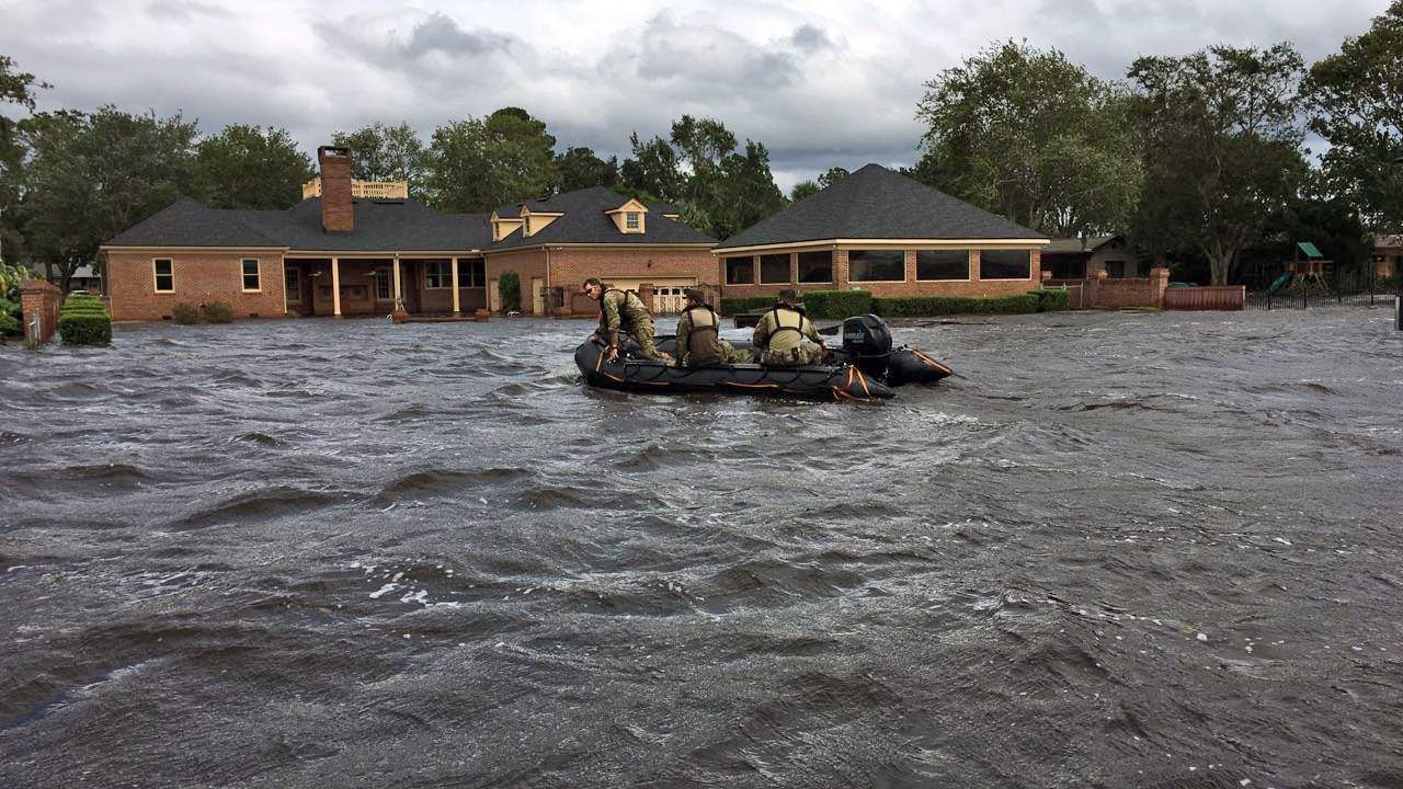
The St. Johns River rose above a 1953 record near Cocoa on Thursday and is forecast to stay at least 2 feet above flood stage into early next week, the AP reported. First responders made nearly 100 high-water rescues in Brevard County on Thursday, according to the AP. Brevard County Sheriff Wayne Ivey said Thursday, “right now we have absolutely no one that has lost their life from this storm,” CBS News reported. In Edgewater, police used a small boat to move people through knee-deep water in the Florida Shores neighborhood, the AP reported.
The Florida Division of Emergency Management said about 235 Florida Fish and Wildlife Conservation Commission officers have joined welfare checks and rescues, using airboats, shallow-draft boats and swamp buggies. In Broward County, more than 90 residents of a flooded apartment complex were evacuated, rescued or taken for medical care, the agency said. About 200 Florida National Guard members and 50 high-water vehicles were also deployed, the AP reported.
State of emergency covers 21 counties
Gov. Ron DeSantis signed Executive Order 26-232 on Nov. 18, adding Broward, Duval, Flagler, Miami-Dade, Monroe, Putnam and St. Johns counties to the fall flooding state of emergency. The order now covers 21 counties. The first order, signed Nov. 2, covered seven counties after rain from Oct. 31 to Nov. 2.
Where the storm system goes next
The National Hurricane Center said in its 1 p.m. Friday outlook that several broad areas of low pressure lie along a front from central Florida into the Atlantic. The low near central Florida is likely to stay inland without significant development, the center said. A low farther east could become subtropical or tropical as it moves north to north-northeast, passing near or east of the mid-Atlantic coast through the weekend. The center gave it a 30% chance of forming within 48 hours and 40% within seven days.
Whether or not it develops, the center said the heavy rain and flash flood threat over northeast Florida would spread north over the coastal Carolinas and the mid-Atlantic during the weekend. It forecast gusty winds, dangerous surf, rip currents and coastal flooding along parts of the Southeast and mid-Atlantic coasts into early next week.
Scott Kleebauer, a meteorologist with the Weather Prediction Center, said a third coastal system could affect areas from the Southeast to New England around midweek, including Thanksgiving Day, the AP reported.
More U.S. news is on the Stay Current News U.S. page.