FACTS
National Weather Service offices expect days of Florida east coast rain from Tuesday, Nov. 17, through Friday, Nov. 20, 2026. NWS Melbourne forecast widespread totals of 2 to 4 inches, with isolated amounts of 5 to 7 inches, according to USA TODAY Network-Florida. Federal forecasters rate the flood risk for parts of the coast at Level 2 of 4.
Florida east coast rain totals forecast
NWS Melbourne, which covers east central Florida, forecast widespread rainfall of 2 to 4 inches with isolated amounts of 5 to 7 inches through Friday, USA TODAY Network-Florida reported Monday. The office said, “Low confidence remains for exactly where heavy bands may set up,” according to the report.
FOX Weather, citing the National Weather Service, reported a forecast of 4 to 6 inches of rain across the week, with localized amounts above 8 inches. AccuWeather meteorologist Nicholas Arman told USA TODAY Network-Florida that totals of 2 to 8 inches are possible across much of eastern and southern Florida, with more than a foot in spots where storms move slowly. “This is a week to watch for flash flooding potential,” Arman said.
WKMG News 6 chief meteorologist Candace Campos forecast rain chances of 40% to 80% across Central Florida on Tuesday, with wind gusts of 30 to 40 mph, followed by widespread downpours Wednesday through Friday.
Flood risk levels from federal forecasters
The federal Weather Prediction Center placed east-southeast parts of the Florida peninsula under a Slight Risk (Level 2 of 4) of excessive rainfall for Tuesday into Wednesday morning, in an outlook issued Sunday afternoon. The area covers the Gold Coast, the Treasure Coast and parts of the Space Coast up to Cape Canaveral. The same outlook kept a Slight Risk for the coast from Cocoa Beach to coastal Palm Beach County into Friday morning.
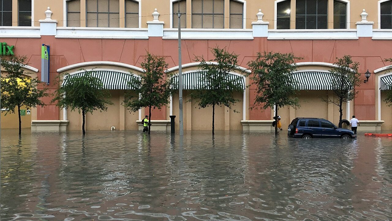
NWS Miami warned of an “increased threat of urban flooding” along South Florida’s east coast, USA TODAY Network-Florida reported. CBS Miami reported that much of Broward and Miami-Dade counties is under a slight risk of flash flooding on Tuesday and again on Wednesday, with gusts that could reach 30 to 35 mph. Farther north, NWS Jacksonville warned of “increasingly rough surf and beach erosion” starting midweek, according to the same USA TODAY report.
FOX Weather reported a high risk of rip currents through Wednesday at beaches near Daytona Beach, Titusville, Melbourne, Vero Beach, Fort Pierce and Stuart.
St. Johns River already in flood
The rain arrives while the St. Johns River remains in flood. NWS Melbourne issued a flood warning Monday morning for the river near Lake Harney in Seminole County and near Cocoa in Brevard County. The river near Lake Harney stood at 9.0 feet Monday morning, above its flood stage of 8.0 feet, and the river near Cocoa is forecast to remain in major flood, with possible rises later this week if significant rain falls, the warning said.
Earlier this month, NWS Melbourne issued a Flash Flood Emergency on Nov. 2 for Melbourne, West Melbourne and Palm Bay after more than a foot of rain fell, WUFT reported. NWS Melbourne meteorologist Jessie Schaper described that event to WUFT as a 1-in-1,000-year flood. “Areas that already saw a lot of rain earlier this month will be especially susceptible to street and highway flooding,” AccuWeather senior meteorologist Dan Pydynowski said in an AccuWeather forecast published Sunday.
Schaper’s safety message to WUFT after the Nov. 2 flooding was “Turn around, don’t drown.”
More national weather and U.S. news is on the Stay Current News U.S. page.